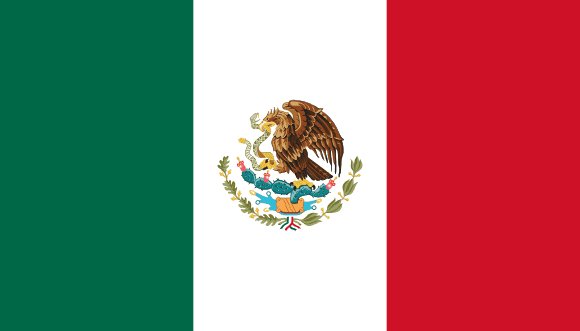
Administrative divisions of Mexico
Mexico is divided into 33 first-level administrative divisions:
Largest cities in Mexico
| # | City | Population |
|---|---|---|
| 1 | Mexico CityCapital | 19,028,000 |
| 2 | Guadalajara | 4,198,000 |
| 3 | Monterrey | 3,712,000 |
| 4 | Puebla | 2,195,000 |
| 5 | Tijuana | 1,553,000 |
| 6 | Toluca | 1,531,000 |
| 7 | León | 1,488,000 |
| 8 | Ciudad Juárez | 1,343,000 |
| 9 | Torreón | 1,144,000 |
| 10 | Nezahualcoyotl | 1,109,363 |
Mexico City is the largest urban area in Mexico with about 19,028,000 people.
Terrain, rivers & lakes
Highest terrain in Mexico: ≈ 5,551 m — read from the global elevation model, so summit heights are approximate. The physical map paints elevation bands from green lowlands to brown highlands.
🌊 Rivers
- Purificacin
- Rio Grande
- Rio Batepito
- San Pedro y San Pablo
- Rio Salinas
- Usumacinta
- Colorado
- Chixoy
- Ro Grande de Santiago
- Verde
- Pnuco
- Grijalva
- Conchos
- Balsas
- Pecos
- Cuilco
- Papaloapan
- Yaqui
- Fuerte
- Lerma
- Coatzacoalcos
- San Juan
- Moctezuma
- Atengo
- Bavispe
- Atoyac
- San Pedro
- Urique
- San Miguel
- Soto la Marina
🏞️ Lakes
- Lake
- Lago de Chapala
- Presa Miguel Hidalgo
- Laguna de Pueblo Viejo
- Laguna Chil
- Lake Novillo
- Amistad Reservoir
- Falcon Lake
- Presa de la Boquilla
- Presa del Infiernillo
- Presa de la Angostura
- Presa Marte R. Gomez
- Presa Nezahualcyotl
- Presa Manuel vila Camacho
- Presa Vicente Guerrero
- Presa Alvaro Obregon
- Laguna Madre
- Presa Miguel Alemán
Ethnic groups in Mexico
Mestizo (Indigenous-Spanish) 62%, predominantly Indigenous 21%, Indigenous 7%, other 10% (mostly European) (2012 est.)
Regionally, Mestizo is the most common ethnic group across most of the 33 divisions, while Indigenous predominates in 2 divisions (Oaxaca, Yucatán).
Source: CIA World Factbook (2012 est.) · regional dominance compiled by Glostats from censuses and surveys
Religions in Mexico
Catholic 77.7%, no religion 10.6%, other Evangelical Churches 7.5%, Jehovah Witness 1.2%; less than 1 percent: Pentecostal, Seventh Day Adventist, Historics, not specified, Latter Day Saints, other religions (2020 est.)
Regionally, Catholic is the most common religious group across most of the 33 divisions.
Source: CIA World Factbook (2020 est.) · regional dominance compiled by Glostats from censuses and surveys
Languages in Mexico
Spanish only 93.8%, Spanish and indigenous languages (including Mayan, Nahuatl, and others) 5.4%, indigenous only 0.6%, unspecified 0.2% (2020 est.)
Regionally, Spanish only is the most common language group across most of the 33 divisions.
Source: CIA World Factbook (2020 est.) · regional dominance compiled by Glostats from censuses and surveys
Explore more
 United States
 Canada
 Guatemala
 Haiti
 Dominican Republic
 Honduras
 Cuba
 Nicaragua
Sources: boundaries, cities, rivers and lakes from Natural Earth (public domain, 1:10m); elevation from the AWS Open Data terrain tiles (SRTM/GMTED); ethnic, religious and language shares from the CIA World Factbook; regional dominance compiled by Glostats from national censuses and surveys. Page generated 2026-10-19. More about our data.