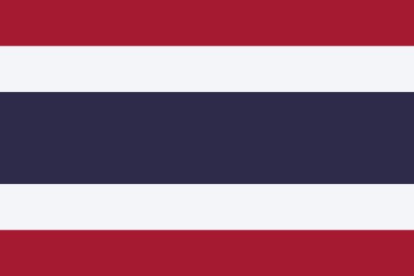
Administrative divisions of Thailand
Thailand is divided into 77 first-level administrative divisions:
Largest cities in Thailand
| # | City | Population |
|---|---|---|
| 1 | BangkokCapital | 6,704,000 |
| 2 | Chiang Mai | 397,211 |
| 3 | Samut Prakan | 388,920 |
| 4 | Nakhon Ratchasima | 334,984 |
| 5 | Hat Yai | 317,954 |
| 6 | Ubon Ratchathani | 273,893 |
| 7 | Nonthaburi | 258,550 |
| 8 | Khon Kaen | 251,056 |
| 9 | Udon Thani | 247,231 |
| 10 | Nakhon Si Thammarat | 232,335 |
Bangkok is the largest urban area in Thailand with about 6,704,000 people.
Terrain, rivers & lakes
Highest terrain in Thailand: ≈ 2,572 m — read from the global elevation model, so summit heights are approximate. The physical map paints elevation bands from green lowlands to brown highlands.
🌊 Rivers
- Salween
- Mae Klong
- Yom
- Lancang
- Ping
- Mekong
- Chao Phraya
- Mun
- Chi
🏞️ Lakes
- Ubolratna Reservoir
- Chao Nen Dam
- Bhumphol K. K. Nam
- Siri Kit Dam
Ethnic groups in Thailand
Thai 97.5%, Burmese 1.3%, other 1.1%, unspecified <0.1% (2015 est.)
Regionally, Thai is the most common ethnic group across most of the 77 divisions, while Malay predominates in 3 divisions (Pattani, Yala, Narathiwat).
Source: CIA World Factbook (2015 est.) · regional dominance compiled by Glostats from censuses and surveys
Religions in Thailand
Buddhist 92.5%, Muslim 5.4%, Christian 1.2%, other 0.9% (includes animist, Confucian, Hindu, Jewish, Sikh, and Taoist) (2021 est.)
Regionally, Buddhist is the most common religious group across most of the 77 divisions, while Muslim predominates in 4 divisions (Pattani, Yala, Narathiwat, Satun).
Source: CIA World Factbook (2021 est.) · regional dominance compiled by Glostats from censuses and surveys
Languages in Thailand
Thai (official) only 90.7%, Thai and other languages 6.4%, only other languages 2.9% (includes Malay, Burmese); English is a secondary language among the elite (2010 est.)
Regionally, Thai only is the most common language group across most of the 77 divisions, while Malay predominates in 3 divisions (Pattani, Yala, Narathiwat).
Source: CIA World Factbook (2010 est.) · regional dominance compiled by Glostats from censuses and surveys
Explore more
 India
 China
 Indonesia
 Pakistan
 Bangladesh
 Japan
 Philippines
 Vietnam
Sources: boundaries, cities, rivers and lakes from Natural Earth (public domain, 1:10m); elevation from the AWS Open Data terrain tiles (SRTM/GMTED); ethnic, religious and language shares from the CIA World Factbook; regional dominance compiled by Glostats from national censuses and surveys. Page generated 2026-10-19. More about our data.