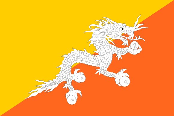
Administrative divisions of Bhutan
Bhutan is divided into 20 first-level administrative divisions:
Largest cities in Bhutan
| # | City | Population |
|---|---|---|
| 1 | ThimphuCapital | 98,676 |
| 2 | Phuntsholing | 27,658 |
| 3 | Tsirang | 22,376 |
| 4 | Punākha | 21,500 |
Thimphu is the largest city in Bhutan with about 98,676 people. All 4 largest cities of Bhutan →
Terrain, rivers & lakes
Highest terrain in Bhutan: ≈ 7,471 m — read from the global elevation model, so summit heights are approximate. The physical map paints elevation bands from green lowlands to brown highlands.
🌊 Rivers
- Mamas
🏞️ Lakes
No major lakes at this scale.
Ethnic groups in Bhutan
Ngalop (also known as Bhote) 50%, ethnic Nepali 35% (predominantly Lhotshampas), indigenous or migrant tribes 15%
Regionally, Ngalop is the most common ethnic group across most of the 20 divisions, while Sharchop predominates in 6 divisions (Tashigang, Tashi Yangtse, Mongar, Pemagatsel, Samdrup Jongkhar, Lhuntshi); ethnic Nepali predominates in 4 divisions (Samchi, Chirang, Geylegphug, Daga).
Source: CIA World Factbook · regional dominance compiled by Glostats from censuses and surveys
Religions in Bhutan
Lamaistic Buddhist 75.3%, Indian- and Nepali-influenced Hinduism 22.1%, other 2.6% (2005 est.)
Regionally, Lamaistic Buddhist is the most common religious group across most of the 20 divisions, while Indian- and Nepali-influenced Hinduism predominates in 4 divisions (Samchi, Chirang, Geylegphug, Daga).
Source: CIA World Factbook (2005 est.) · regional dominance compiled by Glostats from censuses and surveys
Languages in Bhutan
Sharchopkha 28%, Dzongkha (official) 24%, Lhotshamkha 22%, other 26% (includes foreign languages) (2005 est.)
Regionally, Dzongkha is the most common language group across most of the 20 divisions, while Sharchopkha predominates in 6 divisions (Tashigang, Tashi Yangtse, Mongar, Pemagatsel, Samdrup Jongkhar, Lhuntshi); Lhotshamkha predominates in 4 divisions (Samchi, Chirang, Geylegphug, Daga).
Source: CIA World Factbook (2005 est.) · regional dominance compiled by Glostats from censuses and surveys
Explore more
 India
 China
 Indonesia
 Pakistan
 Bangladesh
 Japan
 Philippines
 Vietnam
Sources: boundaries, cities, rivers and lakes from Natural Earth (public domain, 1:10m); elevation from the AWS Open Data terrain tiles (SRTM/GMTED); ethnic, religious and language shares from the CIA World Factbook; regional dominance compiled by Glostats from national censuses and surveys. Page generated 2026-10-20. More about our data.