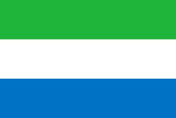
Administrative divisions of Sierra Leone
Sierra Leone is divided into 4 first-level administrative divisions:
Largest cities in Sierra Leone
| # | City | Population |
|---|---|---|
| 1 | FreetownCapital | 827,000 |
| 2 | Bo | 174,354 |
| 3 | Kenema | 143,137 |
| 4 | Makeni | 87,679 |
| 5 | Koidu | 87,539 |
Freetown is the largest urban area in Sierra Leone with about 827,000 people.
Terrain, rivers & lakes
Highest terrain in Sierra Leone: ≈ 2,465 m — read from the global elevation model, so summit heights are approximate. The physical map paints elevation bands from green lowlands to brown highlands.
🌊 Rivers
- Rokel
🏞️ Lakes
No major lakes at this scale.
Ethnic groups in Sierra Leone
Temne 35.4%, Mende 30.8%, Limba 8.8%, Kono 4.3%, Korankoh 4%, Fullah 3.8%, Mandingo 2.8%, Loko 2%, Sherbro 1.9%, Creole 1.2% (descendants of freed Jamaican slaves who were settled in the Freetown area in the late-18th century; also known as Krio), other 5% (2019 est.)
Regionally, Temne is the most common ethnic group across most of the 4 divisions, while Mende predominates in 2 divisions (Eastern, Southern).
Source: CIA World Factbook (2019 est.) · regional dominance compiled by Glostats from censuses and surveys
Religions in Sierra Leone
Muslim 77.1%, Christian 22.9% (2019 est.)
Regionally, Muslim is the most common religious group across most of the 4 divisions.
Source: CIA World Factbook (2019 est.) · regional dominance compiled by Glostats from censuses and surveys
Languages in Sierra Leone
English (official, regular use limited to literate minority), Mende (principal vernacular in the south), Temne (principal vernacular in the north), Krio (English-based Creole, spoken by the descendants of freed Jamaican slaves; a first language for 10% of the population but understood by 95%)
Regionally, Mende is the most common language group across most of the 4 divisions, while Temne predominates in 1 division (Northern); Krio predominates in 1 division (Western).
Source: CIA World Factbook · regional dominance compiled by Glostats from censuses and surveys
Explore more
 Nigeria
 Ethiopia
 Egypt
 DR Congo
 Tanzania
 South Africa
 Kenya
 Sudan
Sources: boundaries, cities, rivers and lakes from Natural Earth (public domain, 1:10m); elevation from the AWS Open Data terrain tiles (SRTM/GMTED); ethnic, religious and language shares from the CIA World Factbook; regional dominance compiled by Glostats from national censuses and surveys. Page generated 2026-10-19. More about our data.