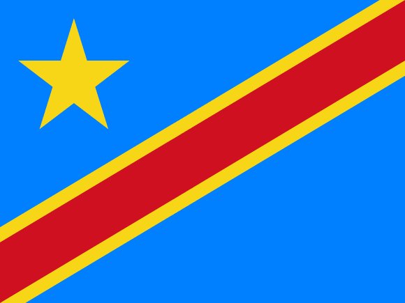
Administrative divisions of DR Congo
The Democratic Republic of the Congo is divided into 11 first-level administrative divisions:
Largest cities in DR Congo
| # | City | Population |
|---|---|---|
| 1 | KinshasaCapital | 7,843,000 |
| 2 | Lubumbashi | 1,352,000 |
| 3 | Mbuji-Mayi | 1,295,000 |
| 4 | Kananga | 765,000 |
| 5 | Kikwit | 637,736 |
| 6 | Kisangani | 578,470 |
| 7 | Bukavu | 436,779 |
| 8 | Likasi | 434,408 |
| 9 | Kolwezi | 418,000 |
| 10 | Beni | 332,903 |
Kinshasa is the largest urban area in the Democratic Republic of the Congo with about 7,843,000 people.
Terrain, rivers & lakes
Highest terrain in the Democratic Republic of the Congo: ≈ 5,180 m — read from the global elevation model, so summit heights are approximate. The physical map paints elevation bands from green lowlands to brown highlands.
🌊 Rivers
- Semliki
- Kwango
- Tshuapa
- Busira
- Ruki
- Lualaba
- Rusizi
- Congo
- Bomu
- Ituri
- Lomami
- Aruwimi
- Ubangi
- Lufira
- Lokoro
- Lukuga
- Luvua
- Lukenie
- Kibali
- Ebola
- Lua
- Chinko
- Kasai
- Lobaye
- Sankuru
- Kwilu
- Inkisi
- Uele
- Mongala
- Fimi
- Luapula
🏞️ Lakes
- Lake Albert
- Lake Tanganyika
- Lac Moeru
- Lake Kivu
- Lake Edward
- Lac Tumba
- Lac Mai-Ndombe
- Lake Rentenue
- Lac Upemba
Ethnic groups in DR Congo
more than 200 African ethnic groups of which the majority are Bantu; the four largest groups - Mongo, Luba, Kongo (all Bantu), and the Mangbetu-Azande (Hamitic) - make up about 45% of the population
Regionally, Luba is the most common ethnic group across most of the 11 divisions, while Kongo predominates in 2 divisions (Kinshasa City, Bas-Congo); Mongo predominates in 1 division (Équateur); Yaka predominates in 1 division (Bandundu); Mangbetu-Azande predominates in 1 division (Orientale).
Source: CIA World Factbook · regional dominance compiled by Glostats from censuses and surveys
Religions in DR Congo
Christian 93/1% (Roman Catholic 29.9%, Protestant 26.7%, other Christian 36.5%), Kimbanguist 2.8%, Muslim 1.3%, other (includes syncretic sects and indigenous beliefs) 1.2%, none 1.3%, unspecified 0.2% (2014 est.)
Regionally, Christian is the most common religious group across most of the 11 divisions.
Source: CIA World Factbook (2014 est.) · regional dominance compiled by Glostats from censuses and surveys
Languages in DR Congo
French (official), Lingala (a trade language), Kingwana (a dialect of Kiswahili or Swahili), Kikongo, Tshiluba
Regionally, Kingwana is the most common language group across most of the 11 divisions, while Lingala predominates in 3 divisions (Kinshasa City, Équateur, Orientale); Kikongo predominates in 2 divisions (Bas-Congo, Bandundu); Tshiluba predominates in 2 divisions (Kasaï-Occidental, Kasaï-Oriental).
Source: CIA World Factbook · regional dominance compiled by Glostats from censuses and surveys
Explore more
 Nigeria
 Ethiopia
 Egypt
 Tanzania
 South Africa
 Kenya
 Sudan
 Uganda
Sources: boundaries, cities, rivers and lakes from Natural Earth (public domain, 1:10m); elevation from the AWS Open Data terrain tiles (SRTM/GMTED); ethnic, religious and language shares from the CIA World Factbook; regional dominance compiled by Glostats from national censuses and surveys. Page generated 2026-10-19. More about our data.