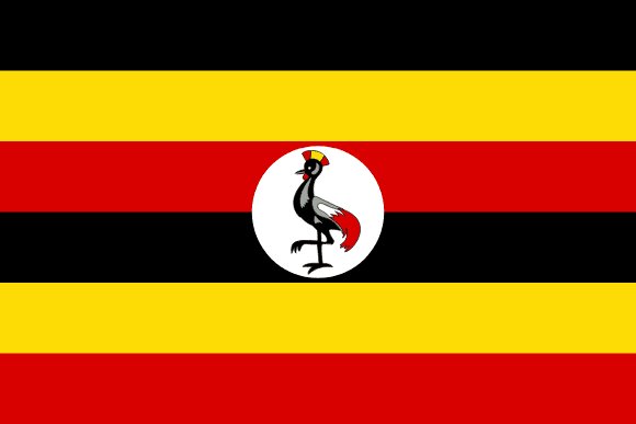
Administrative divisions of Uganda
Uganda is divided into 112 first-level administrative divisions:
Largest cities in Uganda
| # | City | Population |
|---|---|---|
| 1 | KampalaCapital | 1,420,000 |
| 2 | Mbale | 402,368 |
| 3 | Jinja | 301,619 |
| 4 | Arua | 250,000 |
| 5 | Entebbe | 175,128 |
| 6 | Tororo | 150,000 |
| 7 | Gulu | 146,858 |
| 8 | Lira | 135,445 |
| 9 | Mbarara | 83,700 |
| 10 | Bombo | 75,000 |
Kampala is the largest urban area in Uganda with about 1,420,000 people.
Terrain, rivers & lakes
Highest terrain in Uganda: ≈ 5,180 m — read from the global elevation model, so summit heights are approximate. The physical map paints elevation bands from green lowlands to brown highlands.
🌊 Rivers
- Semliki
- Victoria Nile
- Kagera
- Albert Nile
🏞️ Lakes
- Lake Albert
- Lake Victoria
- Lake Edward
- Lake
- Lake Kyoga
- Lake Kwania
- Lake Bunyonyi
Ethnic groups in Uganda
Baganda 16.5%, Banyankole 9.6%, Basoga 8.8%, Bakiga 7.1%, Iteso 7%, Langi 6.3%, Bagisu 4.9%, Acholi 4.4%, Lugbara 3.3%, other 32.1% (2014 est.)
Regionally, Baganda is the most common ethnic group across most of the 112 divisions, while Banyankole predominates in 9 divisions (Ntungamo, Isingiro, Ibanda, Mbarara, Rubirizi, Bushenyi, …); Basoga predominates in 9 divisions (Mayuge, Kamuli, Luuka, Buyende, Jinja, Iganga, …); Langi predominates in 8 divisions (Apac, Amolatar, Dokolo, Oyam, Lira, Kole, …); Acholi predominates in 7 divisions (Kitgum, Lamwo, Amuru, Gulu, Pader, Agago, …).
Source: CIA World Factbook (2014 est.) · regional dominance compiled by Glostats from censuses and surveys
Religions in Uganda
Protestant 45.1% (Anglican 32.0%, Pentecostal/Born Again/Evangelical 11.1%, Seventh Day Adventist 1.7%, Baptist .3%), Roman Catholic 39.3%, Muslim 13.7%, other 1.6%, none 0.2% (2014 est.)
Regionally, Protestant is the most common religious group across most of the 112 divisions, while Roman Catholic predominates in 34 divisions (Kitgum, Lamwo, Amuru, Gulu, Pader, Agago, …); Muslim predominates in 2 divisions (Yumbe, Butambala).
Source: CIA World Factbook (2014 est.) · regional dominance compiled by Glostats from censuses and surveys
Languages in Uganda
English (official), Ganda or Luganda (most widely used of the Niger-Congo languages and the language used most often in the capital), other Niger-Congo languages, Nilo-Saharan languages, Swahili (official), Arabic
Regionally, Luganda is the most common language group across most of the 112 divisions, while Runyankole predominates in 9 divisions (Ntungamo, Isingiro, Ibanda, Mbarara, Rubirizi, Bushenyi, …); Lusoga predominates in 9 divisions (Mayuge, Kamuli, Luuka, Buyende, Jinja, Iganga, …); Lango predominates in 8 divisions (Apac, Amolatar, Dokolo, Oyam, Lira, Kole, …); Acholi predominates in 7 divisions (Kitgum, Lamwo, Amuru, Gulu, Pader, Agago, …).
Source: CIA World Factbook · regional dominance compiled by Glostats from censuses and surveys
Explore more
 Nigeria
 Ethiopia
 Egypt
 DR Congo
 Tanzania
 South Africa
 Kenya
 Sudan
Sources: boundaries, cities, rivers and lakes from Natural Earth (public domain, 1:10m); elevation from the AWS Open Data terrain tiles (SRTM/GMTED); ethnic, religious and language shares from the CIA World Factbook; regional dominance compiled by Glostats from national censuses and surveys. Page generated 2026-10-19. More about our data.