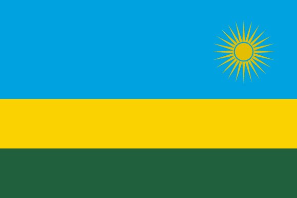
Administrative divisions of Rwanda
Rwanda is divided into 5 first-level administrative divisions:
Largest cities in Rwanda
| # | City | Population |
|---|---|---|
| 1 | KigaliCapital | 860,000 |
| 2 | Nyanza | 225,209 |
| 3 | Gitarama | 87,613 |
| 4 | Ruhengeri | 86,685 |
| 5 | Gisenyi | 83,623 |
| 6 | Butare | 77,000 |
| 7 | Byumba | 70,593 |
| 8 | Kibuye | 48,024 |
| 9 | Kibungo | 46,240 |
| 10 | Cyangugu | 19,900 |
Kigali is the largest urban area in Rwanda with about 860,000 people.
Terrain, rivers & lakes
Highest terrain in Rwanda: ≈ 4,487 m — read from the global elevation model, so summit heights are approximate. The physical map paints elevation bands from green lowlands to brown highlands.
🌊 Rivers
- Rusizi
- Kagera
🏞️ Lakes
- Lake Kivu
Ethnic groups in Rwanda
Hutu, Tutsi, Twa
Regionally, Hutu is the most common ethnic group across most of the 5 divisions.
Source: CIA World Factbook · regional dominance compiled by Glostats from censuses and surveys
Religions in Rwanda
Catholic 39.9%, Pentecostal 21.3%, Protestant 14.6%, Adventist 12.2%, other Christians 4.2%, no religion 3.0%, Muslim 2.0%, other religions 2.0%; less than 1%: Jehovah Witness, not specified, Animist (2022 est.)
Regionally, Catholic is the most common religious group across most of the 5 divisions.
Source: CIA World Factbook (2022 est.) · regional dominance compiled by Glostats from censuses and surveys
Languages in Rwanda
Kinyarwanda (official, universal Bantu vernacular) 93.2%, French (official) <0.1%, English (official) <0.1%, Swahili/Kiswahili (official, used in commercial centers) <0.1%, more than one language, other 6.3%, unspecified 0.3% (2002 est.)
Regionally, Kinyarwanda is the most common language group across most of the 5 divisions.
Source: CIA World Factbook (2002 est.) · regional dominance compiled by Glostats from censuses and surveys
Explore more
 Nigeria
 Ethiopia
 Egypt
 DR Congo
 Tanzania
 South Africa
 Kenya
 Sudan
Sources: boundaries, cities, rivers and lakes from Natural Earth (public domain, 1:10m); elevation from the AWS Open Data terrain tiles (SRTM/GMTED); ethnic, religious and language shares from the CIA World Factbook; regional dominance compiled by Glostats from national censuses and surveys. Page generated 2026-10-19. More about our data.