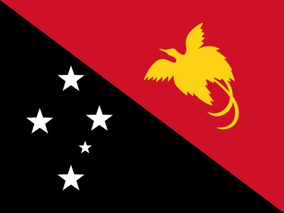
Administrative divisions of Papua New Guinea
Papua New Guinea is divided into 20 first-level administrative divisions:
Largest cities in Papua New Guinea
| # | City | Population |
|---|---|---|
| 1 | Port MoresbyCapital | 283,733 |
| 2 | Lae | 131,052 |
| 3 | Madang | 62,023 |
| 4 | Mt. Hagen | 59,064 |
| 5 | Arawa | 40,266 |
| 6 | Goroka | 39,699 |
| 7 | Popondetta | 28,198 |
| 8 | Mendi | 26,252 |
| 9 | Wewak | 25,143 |
| 10 | Kavieng | 19,728 |
Port Moresby is the largest urban area in Papua New Guinea with about 283,733 people.
Terrain, rivers & lakes
Highest terrain in Papua New Guinea: ≈ 4,458 m — read from the global elevation model, so summit heights are approximate. The physical map paints elevation bands from green lowlands to brown highlands.
🌊 Rivers
- Ramu
- Purari
- Fly
- Sepik
🏞️ Lakes
- Lake Murray
Ethnic groups in Papua New Guinea
Melanesian, Papuan, Negrito, Micronesian, Polynesian
Regionally, Melanesian is the most common ethnic group across most of the 20 divisions.
Source: CIA World Factbook · regional dominance compiled by Glostats from censuses and surveys
Religions in Papua New Guinea
Protestant 64.3% (Evangelical Lutheran 18.4%, Seventh Day Adventist 12.9%, Pentecostal 10.4%, United Church 10.3%, Evangelical Alliance 5.9%, Anglican 3.2%, Baptist 2.8%, Salvation Army 0.4%), Roman Catholic 26%, other Christian 5.3%, non-Christian 1.4%, unspecified 3.1% (2011 est.)
Regionally, Protestant is the most common religious group across most of the 20 divisions, while Roman Catholic predominates in 5 divisions (North Solomons, East Sepik, Sandaun, Chimbu, Madang).
Source: CIA World Factbook (2011 est.) · regional dominance compiled by Glostats from censuses and surveys
Languages in Papua New Guinea
Tok Pisin (official), English (official), Hiri Motu (official), some 839 living indigenous languages are spoken (about 12% of the world's total)
Regionally, Tok Pisin is the most common language group across most of the 20 divisions.
Source: CIA World Factbook · regional dominance compiled by Glostats from censuses and surveys
Explore more
 Australia
 New Zealand
 Fiji
 Solomon Islands
 Vanuatu
 New Caledonia
 French Polynesia
 Samoa
Sources: boundaries, cities, rivers and lakes from Natural Earth (public domain, 1:10m); elevation from the AWS Open Data terrain tiles (SRTM/GMTED); ethnic, religious and language shares from the CIA World Factbook; regional dominance compiled by Glostats from national censuses and surveys. Page generated 2026-10-19. More about our data.