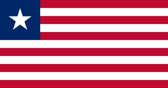
Administrative divisions of Liberia
Liberia is divided into 15 first-level administrative divisions:
Largest cities in Liberia
| # | City | Population |
|---|---|---|
| 1 | MonroviaCapital | 1,041,000 |
| 2 | Buchanan | 48,315 |
| 3 | Gbarnga | 45,835 |
| 4 | Kakata | 33,945 |
| 5 | Harper | 32,661 |
| 6 | Voinjama | 26,594 |
| 7 | Zwedru | 25,678 |
| 8 | Robertsport | 11,969 |
| 9 | Sanniquellie | 11,415 |
| 10 | Greenville | 10,374 |
Monrovia is the largest urban area in Liberia with about 1,041,000 people.
Terrain, rivers & lakes
Highest terrain in Liberia: ≈ 1,431 m — read from the global elevation model, so summit heights are approximate. The physical map paints elevation bands from green lowlands to brown highlands.
🌊 Rivers
- Cess
- St. Paul
🏞️ Lakes
No major lakes at this scale.
Ethnic groups in Liberia
Kpelle 20.2%, Bassa 13.6%, Grebo 9.9%, Gio 7.9%, Mano 7.2%, Kru 5.5%, Lorma 4.8%, Krahn 4.5%, Kissi, 4.3%, Mandingo 4.2%, Vai 3.8%, Gola 3.8%, Gbandi 2.9%, Mende 1.7%, Sapo 1%, Belle 0.7%, Dey 0.3%, other Liberian ethnic group 0.4%, other African 3%, non-African 0.2% (2022 est.)
Regionally, Kpelle is the most common ethnic group across most of the 15 divisions, while Gola predominates in 2 divisions (Gbapolu, Bomi); Grebo predominates in 2 divisions (River Gee, Maryland); Bassa predominates in 2 divisions (Grand Bassa, River Cess); Kru predominates in 2 divisions (Sinoe, Grand Kru).
Source: CIA World Factbook (2022 est.) · regional dominance compiled by Glostats from censuses and surveys
Religions in Liberia
Christian 84.9%, Muslim 12%, Traditional 0.5%, other 0.1%, none 2.6% (2022 est.)
Regionally, Christian is the most common religious group across most of the 15 divisions, while Muslim predominates in 1 division (Grand Cape Mount).
Source: CIA World Factbook (2022 est.) · regional dominance compiled by Glostats from censuses and surveys
Languages in Liberia
English 20% (official) and 27 indigenous languages, including Liberian English variants
Regionally, English is the most common language group across most of the 15 divisions.
Source: CIA World Factbook · regional dominance compiled by Glostats from censuses and surveys
Explore more
 Nigeria
 Ethiopia
 Egypt
 DR Congo
 Tanzania
 South Africa
 Kenya
 Sudan
Sources: boundaries, cities, rivers and lakes from Natural Earth (public domain, 1:10m); elevation from the AWS Open Data terrain tiles (SRTM/GMTED); ethnic, religious and language shares from the CIA World Factbook; regional dominance compiled by Glostats from national censuses and surveys. Page generated 2026-10-19. More about our data.