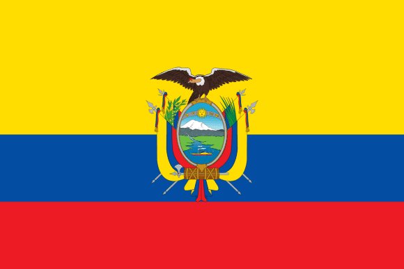
Administrative divisions of Ecuador
Ecuador is divided into 24 first-level administrative divisions:
Largest cities in Ecuador
| # | City | Population |
|---|---|---|
| 1 | Guayaquil | 2,514,000 |
| 2 | QuitoCapital | 1,701,000 |
| 3 | Cuenca | 286,878 |
| 4 | Ambato | 281,425 |
| 5 | Portoviejo | 213,601 |
| 6 | Machala | 213,034 |
| 7 | Manta | 183,166 |
| 8 | Sangolquí | 178,582 |
| 9 | Esmeraldas | 173,101 |
| 10 | Riobamba | 172,464 |
Guayaquil is the largest urban area in Ecuador with about 2,514,000 people; the capital, Quito, has about 1,701,000.
Terrain, rivers & lakes
Highest terrain in Ecuador: ≈ 6,262 m — read from the global elevation model, so summit heights are approximate. The physical map paints elevation bands from green lowlands to brown highlands.
🌊 Rivers
- Santiago
- Napo
- Tumbes
- Putumayo
- Mira
🏞️ Lakes
No major lakes at this scale.
Ethnic groups in Ecuador
Mestizo (mixed Indigenous and White) 77.5%, Montubio 7.7%, Indigenous 7.7%, White 2.2%, Afroecuadorian 2%, Mulatto 1.4%, Black 1.3%, other 0.1% (2022 est.)
Regionally, Mestizo is the most common ethnic group across most of the 24 divisions, while Indigenous predominates in 2 divisions (Napo, Morona Santiago).
Source: CIA World Factbook (2022 est.) · regional dominance compiled by Glostats from censuses and surveys
Religions in Ecuador
Roman Catholic 68.2%, Protestant 19% (Evangelical 18.3%, Adventist 0.6%, other Protestant 0.2%), Jehovah's Witness 1.4%, other 2.3%, none 8.2% don't know/no response 1% (2023 est.)
Regionally, Roman Catholic is the most common religious group across most of the 24 divisions.
Source: CIA World Factbook (2023 est.) · regional dominance compiled by Glostats from censuses and surveys
Languages in Ecuador
Spanish (Castilian; official) 98.6%, indigenous 3.9% (Quechua 3.2%, other indigenous 0.7%), foreign 2.8%, other 0.6% (includes Ecuadorian sign language) (2022 est.)
Regionally, Spanish is the most common language group across most of the 24 divisions.
Source: CIA World Factbook (2022 est.) · regional dominance compiled by Glostats from censuses and surveys
Explore more
 Brazil
 Colombia
 Argentina
 Peru
 Venezuela
 Chile
 Bolivia
 Paraguay
Sources: boundaries, cities, rivers and lakes from Natural Earth (public domain, 1:10m); elevation from the AWS Open Data terrain tiles (SRTM/GMTED); ethnic, religious and language shares from the CIA World Factbook; regional dominance compiled by Glostats from national censuses and surveys. Page generated 2026-10-19. More about our data.