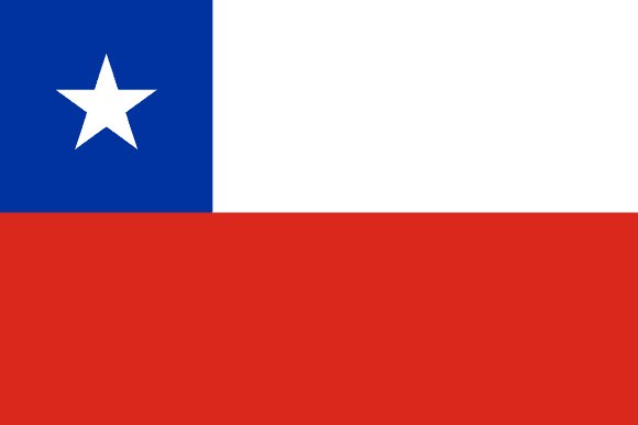
Administrative divisions of Chile
Chile is divided into 16 first-level administrative divisions:
Largest cities in Chile
| # | City | Population |
|---|---|---|
| 1 | SantiagoCapital | 5,720,000 |
| 2 | Concepción | 889,725 |
| 3 | Valparaíso | 854,000 |
| 4 | Viña del Mar | 503,534 |
| 5 | Antofagasta | 309,832 |
| 6 | Talcahuano | 288,074 |
| 7 | Temuco | 265,901 |
| 8 | San Bernardo | 246,762 |
| 9 | Rancagua | 233,268 |
| 10 | Iquique | 227,499 |
Santiago is the largest urban area in Chile with about 5,720,000 people.
Terrain, rivers & lakes
Highest terrain in Chile: ≈ 6,862 m — read from the global elevation model, so summit heights are approximate. The physical map paints elevation bands from green lowlands to brown highlands.
🌊 Rivers
- Gallegos
- Rio Rapel
- Bío-Bío
- Copiapó
🏞️ Lakes
- Lago Buenos Aires
- Lago Llanquihue
- Lago Ranco
- Lake
- Lago San Martín
- Lago Rupanco
Ethnic groups in Chile
White and non-Indigenous 88.9%, Mapuche 9.1%, Aymara 0.7%, other Indigenous groups 1% (includes Rapa Nui, Likan Antai, Quechua, Colla, Diaguita, Kawesqar, Yagan or Yamana), unspecified 0.3% (2012 est.)
Regionally, White and non-Indigenous is the most common ethnic group across most of the 16 divisions.
Source: CIA World Factbook (2012 est.) · regional dominance compiled by Glostats from censuses and surveys
Religions in Chile
Catholic 57%, none 25.7%, Evangelical or Protestant 16.2%, other Christians and traditions related to Christ 1.3%; less than 1%: Buddhist, Catholic Orthodox, Church of Jesus Christ of Latter-Day Saints, Islam, Judaism, other religions, no religion (2024)
Regionally, Catholic is the most common religious group across most of the 16 divisions.
Source: CIA World Factbook · regional dominance compiled by Glostats from censuses and surveys
Languages in Chile
Spanish 99.5% (official), English 10.2%, Indigenous 1% (includes Mapudungun, Aymara, Quechua, Rapa Nui), other 2.3%, unspecified 0.2% (2012 est.)
Regionally, Spanish is the most common language group across most of the 16 divisions.
Source: CIA World Factbook (2012 est.) · regional dominance compiled by Glostats from censuses and surveys
Explore more
 Brazil
 Colombia
 Argentina
 Peru
 Venezuela
 Ecuador
 Bolivia
 Paraguay
Sources: boundaries, cities, rivers and lakes from Natural Earth (public domain, 1:10m); elevation from the AWS Open Data terrain tiles (SRTM/GMTED); ethnic, religious and language shares from the CIA World Factbook; regional dominance compiled by Glostats from national censuses and surveys. Page generated 2026-10-19. More about our data.