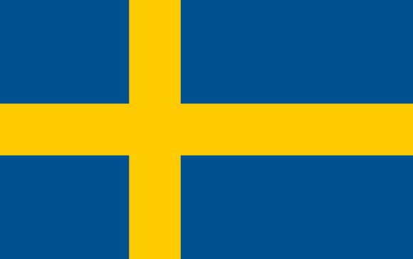
Administrative divisions of Sweden
Sweden is divided into 21 first-level administrative divisions:
Largest cities in Sweden
| # | City | Population |
|---|---|---|
| 1 | StockholmCapital | 1,264,000 |
| 2 | Göteborg | 537,797 |
| 3 | Malmö | 269,349 |
| 4 | Uppsala | 133,117 |
| 5 | Västerås | 107,194 |
| 6 | Örebro | 98,573 |
| 7 | Linköping | 96,732 |
| 8 | Helsingborg | 91,304 |
| 9 | Jönköping | 89,780 |
| 10 | Norrköping | 88,639 |
Stockholm is the largest urban area in Sweden with about 1,264,000 people.
Terrain, rivers & lakes
Highest terrain in Sweden: ≈ 1,986 m — read from the global elevation model, so summit heights are approximate. The physical map paints elevation bands from green lowlands to brown highlands.
🌊 Rivers
- Dalälven
- Gta lv
- ngermanlven
- Stora Lule lv
- Skelleftelven
- Tornelven
- Lule lv
- Klarlven
- Motala strm
- Muonio
- Kalix
- Indalsälven
🏞️ Lakes
- Vänern
- Vättern
- Storsjön
- Hjälmaren
- Lake
- Storavan
- Uddjaure
- Siljan
- Torneträsk
- Virihaure
- Hornavan
- Bolmen
- Åsnen
- Foxen
- Randijaure
- Storuman
- Mälaren
- Akkajaure
- Stora Lulevatten
Ethnic groups in Sweden
Swedish 79.6%, Syrian 1.9%, Iraqi 1.4%, Finnish 1.3%, other 15.8% (2022 est.)
Regionally, Swedish is the most common ethnic group across most of the 21 divisions.
Source: CIA World Factbook (2022 est.) · regional dominance compiled by Glostats from censuses and surveys
Religions in Sweden
Church of Sweden (Lutheran) 53.9%, other (includes Roman Catholic, Orthodox, Baptist, Muslim, Jewish, and Buddhist) 8.9%, none or unspecified 37.2% (2021 est.)
Regionally, Church of Sweden is the most common religious group across most of the 21 divisions.
Source: CIA World Factbook (2021 est.) · regional dominance compiled by Glostats from censuses and surveys
Languages in Sweden
Swedish (official)
Regionally, Swedish is the most common language group across most of the 21 divisions.
Source: CIA World Factbook · regional dominance compiled by Glostats from censuses and surveys
Explore more
 Russia
 Germany
 United Kingdom
 France
 Italy
 Spain
 Ukraine
 Poland
Sources: boundaries, cities, rivers and lakes from Natural Earth (public domain, 1:10m); elevation from the AWS Open Data terrain tiles (SRTM/GMTED); ethnic, religious and language shares from the CIA World Factbook; regional dominance compiled by Glostats from national censuses and surveys. Page generated 2026-10-19. More about our data.